Shrines(Shrines-shaped Landscape of Granite)
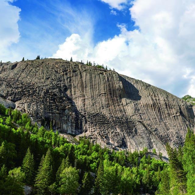
The altitude is 1,421 m. The pit of the shrines is
about 1 - 2 m high and 0.5 m deep, with an oval shape. The shrines is
distributed in the middle of the cliff with 30 m from the ground. The
distribution area is about 15 m wide and 90 m long. Since the whole cliff is
uneven and looks like a pockmarked face, so the local people also called it as “pockmarked
cliff”. It is the shrines-shaped landscape of graniteformed by the gneissic granite of Yanshanian because of the rather large
difference for the anti-weathering ability of the feldspar, mica and quartz
contained.


