Potholes
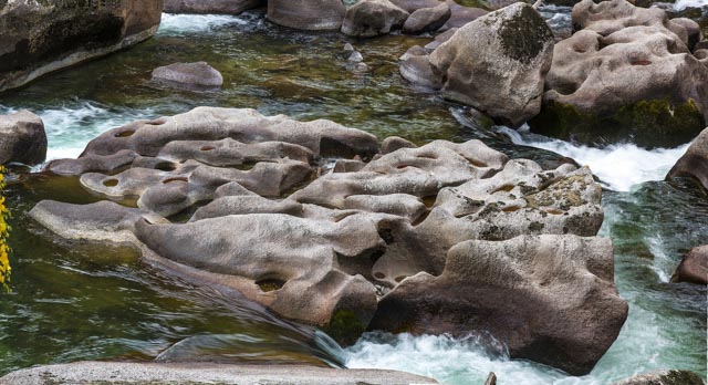
The altitude is 1,460m. Theyare distributedas
moniliform on a huge boulder in the KayiertiRiver. There are more than 50
potholes in total. Individual potholesare round or elliptical, with a diameter
of 0.3-0.8 m and a depth of 0.2-0.6 m. The deepest pothole is 1.10 mdeep and
can penetrate through the boulder.They are potholes formed on the surface of
biotite granite boulder through eroding continuously by swirled water flows
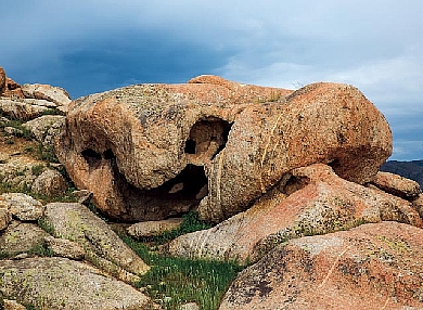
carring with sand in flood periods.The boulder that develops potholes breaks
the surface of water during normal river flow period, and saves river water and
rain and appears red brown.


