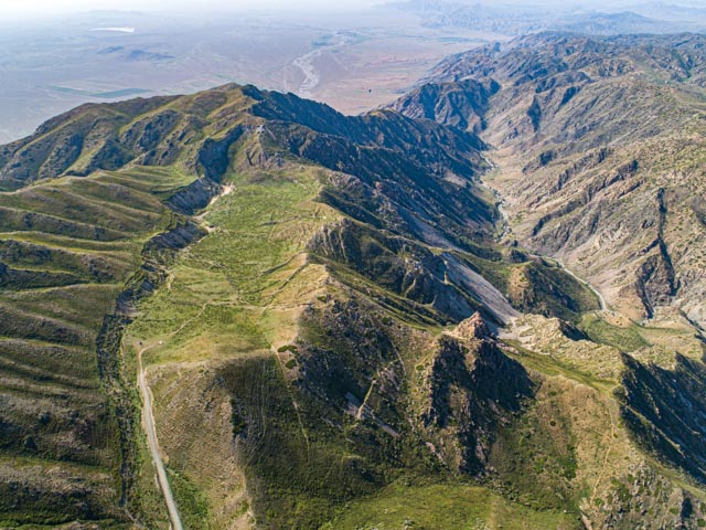
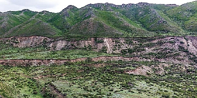
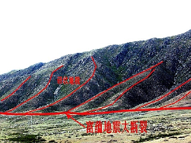
Fuyun Earthquake Fault Zone
It is formed by Fuyun Earthquake in 1931 and belongs
to a multi-stage active tectonic belt in southeast tectonic deformational
domain of Altayorogenic belt. It is anearthquake fault zone with the good
continuity and thestrong dextral horizontal torsion characteristics.It starts
from the mouth of the Maizengsayi Valleyin the north and ends at north slope of
the Aermante mountain in the south. It is totally 176km long, with an average width
of tens of meters. In some segments, it expands and widens. The maximum width
in the epicentral area is as wide as 4km.The overall strike of the Fuyun earthquake
fault zone is in NNW direction. It can be divided into three large segments and
several sub-segments: the extension segment in the north (the north districts
of Qiaergou, mainly in NNW and NW direction with a total length of 55km), the main
strike-slip segment (from Qiaergou to the north of Kuergakesayi with a total
length of 11 km,that is the main
distribution area of fault zones) and the south fracture segment at the end
(from the south of Kuergakesayi arc fault to the end of fault zone with a total
length of 10km. It mainly develops two groups of faults in nearly SN and NNE
direction.)


