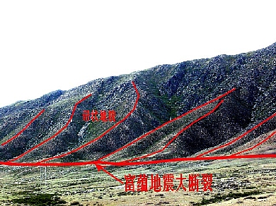
Earthquake Scarpin Bedrock
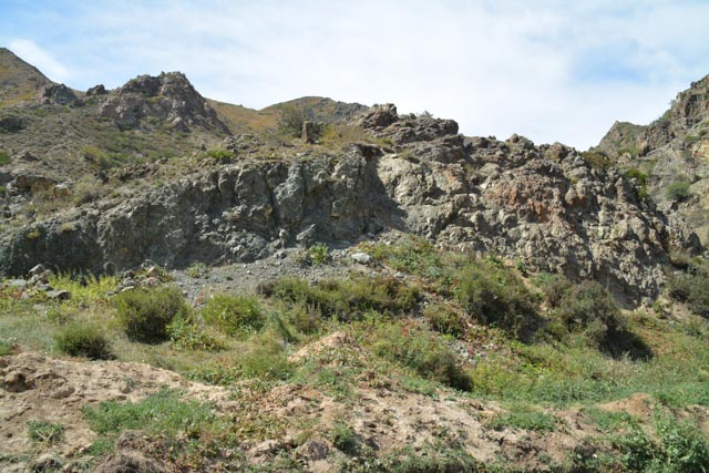
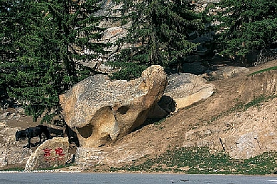
The altitude is 1,840m.The landscape is an earthquake
scarp formed by once more dislocation of the bedrock fracture surfaces. It can
be concluded that the area experienced at least twice violent earthquakes above
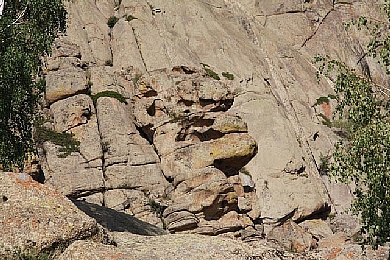
10-magnitude. The fracture surface produced in 1931 earthquake is fresh and
offwhite. Caloplaca lichens are scattered on it with a diameter of 10mm.The old
fracture surface is dark brown with lichens properly coating on it. The
diameter of the same species of lichens is 30-40mm.As a result of different
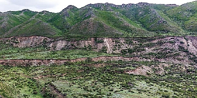
weathering durations, the slope angle of the ancient earthquake fault scarps is
mild and that of the new earthquake fault scarps is steep. Their slope angles
differ by about 10°. Because it is like the cockscomb of a rooster in shape, it
is also calledas cockscomb ridge and is a geomorphology mark of the ancient earthquake
dislocation.
