Earthquake Fault Pond
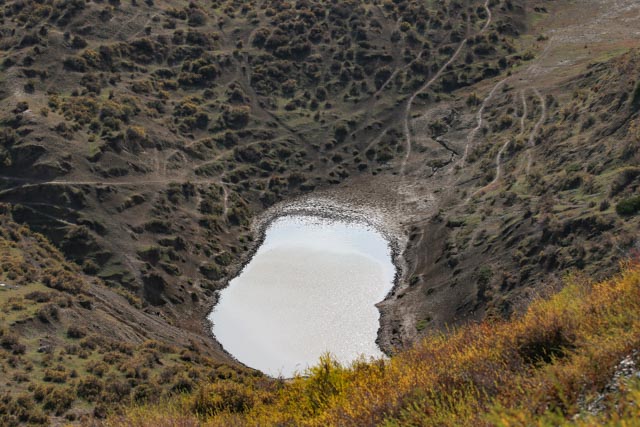
The altitude is 1,727m.The landscape is an earthquake
fault pond formed through leaping water systembythe Fuyunearthquake fault zone.
The Fuyunearthquake fault zone is generally inNNWdirection with the good
continuity. It has a large dextral horizontal displacement, causing that the
river valley through the fault is dislocated. It turns sharply and forms a
negative landform, capable ofgathering temporary water to form a temporary
pond, namely earthquake fault pond.It is one of the marks to judge the ancient earthquakes.
