- Keketuohai received 70,900 tourists during t...
- Declaring Research and Practice Education Ba...
- Outdoor Rock Climbing Regulations in Keketuo...
- The 'Soul of Mine' group sculpture was inaug...
- Discovering the granite landscapes of the Al...
- Keketuohai Geo-classroom, a Red Tourism + Sc...
- Folk speciality tourism puts villagers on th...
- Keketuohai Birds:Golden Eagle
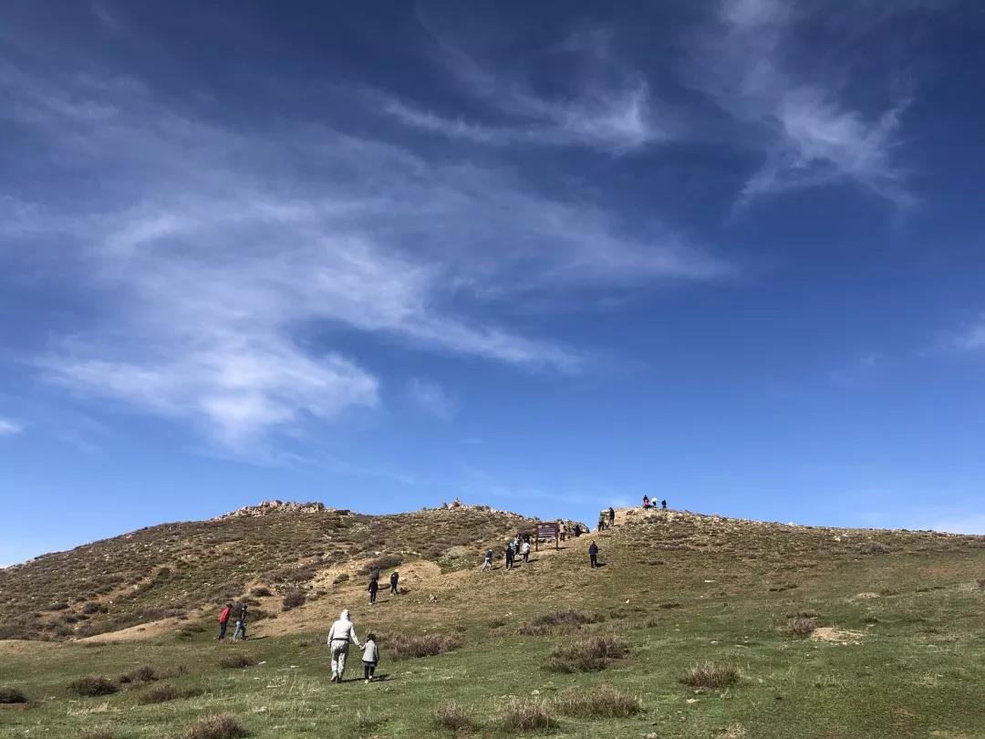
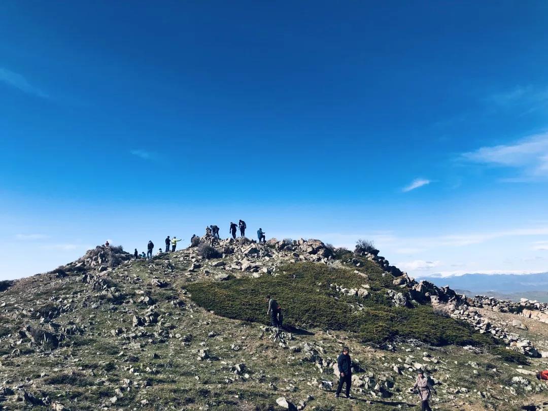
The first time to Kalaxiangeer, see such a wide range of natural beauty, must be shocked, the disc road extends all the way up, almost to the collapsed area, sitting in the car to look at the road, like a link to the whole mountain round and round.

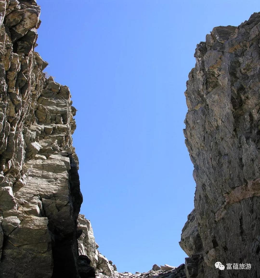
When you come to the Kalaxiangeer Earthquake Fracture Zone, you will be struck by a different kind of experience, one that is a geological wonder created by the charm of nature. Being in the Kalaxiangeer earthquake fault zone, the clear fracture of the mountain is in front of us, as if we can feel the thrilling "earth movement" more than eighty years ago in the whole mountain to show the power.

The Kalaxiangeer Earthquake Collapse Zone is located in the Kalaxiangeer mountainous area south of the Keketuohai UNESCO Global Geopark, at an altitude of 1,889 m. On 11 August 1931, a magnitude VIII earthquake caused a 176-kilometre-long seismic rupture zone in the earth's surface. The earthquake affected almost the whole world, with a diameter of 2,500 kilometres in the area of strong tremor, and Kalaxiangeer was the epicentre of the earthquake, with all the phenomena of the fracture zone well preserved, making it one of the rare seismic zones in the world. The Kalaxiangeer earthquake fault zone stretches vertically along the rift, and when viewed from the air, it looks like a giant dragon travelling in the middle of the canyon. The mountain body stretches for more than 20 kilometres and slides down as a whole, and the collapsed area forms numerous earthquake relics and landscapes. This place is of great scientific significance for the study of earthquake faults, regional tectonic environment, stress field, power source and topographic, geomorphological, vegetation and hydrological changes caused by earthquakes.


